With the rise of big data and data-driven decision-making, more and more organisations are turning to geospatial data for more accurate and faster ways to make operational decisions.
The global geospatial analytics market size is expected to surpass the $258.06 billion mark by 2032, growing at a CAGR of 14.1% from 2025.
Geospatial analytics adds timing and location to traditional data types to build data visualisations. These visualisations include maps, graphics, statistics and cartograms showing historical changes and trends from building footprints to transportation networks and more.
At the forefront of the Geospatial data explosion are a number of geospatial data companies mapping a future led by location intelligence.
What is Geospatial Data?
Geospatial data is any data that has a geographic reference. This means it's information that is tied to a specific location on Earth. It's often represented by coordinates like latitude and longitude, but it can also include other spatial information like addresses, ZIP codes, or even shapes like polygons.
Geospatial data is collected through various methods, such as satellite imagery, aerial photography, GPS devices, and ground surveys. It's then processed and analyzed using specialized software to extract valuable insights. This allows maps to add an extra layer of detail to a map meaning that – instead of just seeing the physical features of a place – you can also see information about what's happening there.
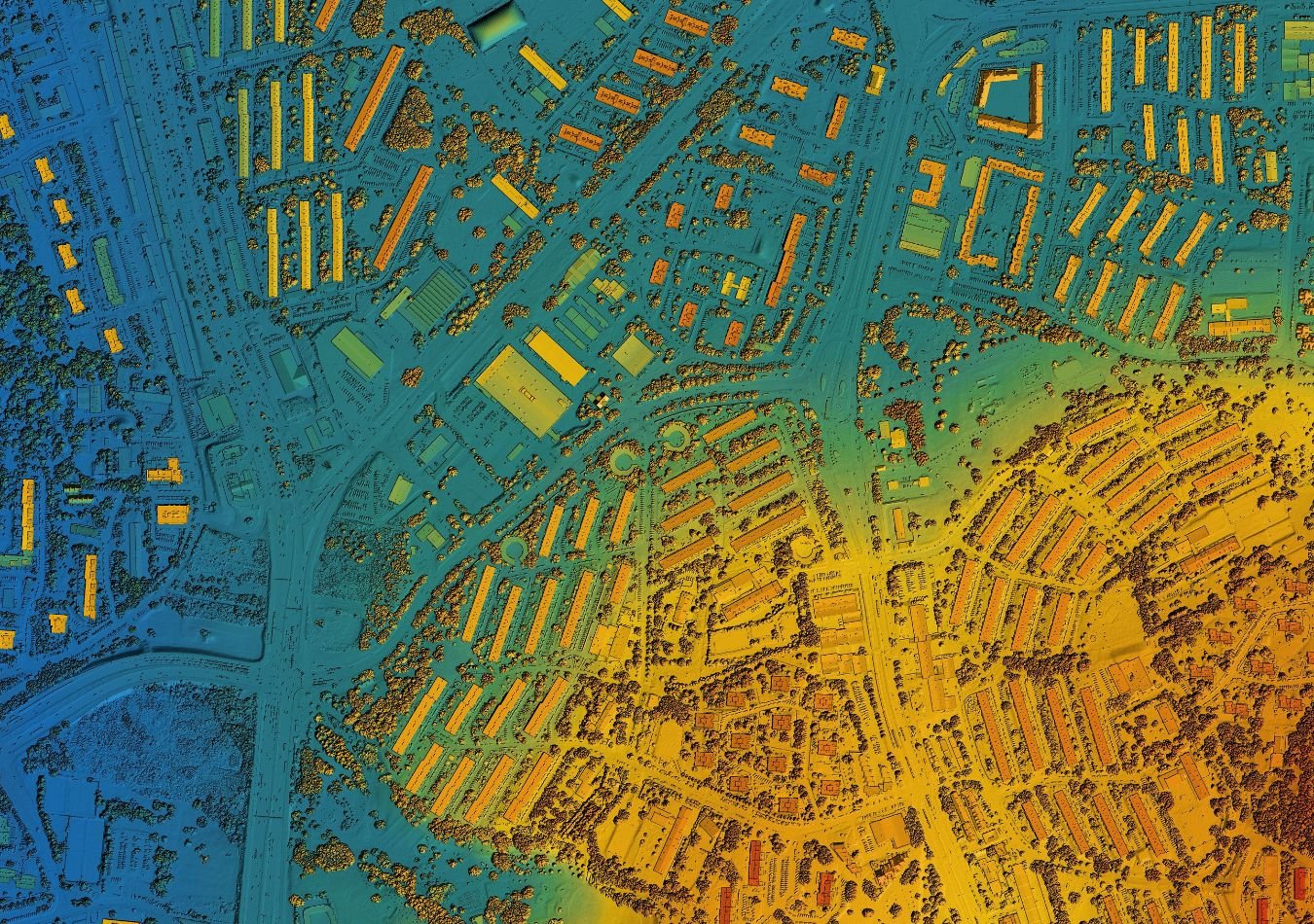
Geospatial data is used in a wide range of applications, from navigation and mapping to urban planning and environmental monitoring. For example, a weather map shows temperature and precipitation data for different locations, while a traffic app provides real-time information on road conditions and traffic flow based on GPS data from vehicles.
What Are Geospatial Data Companies?
Geospatial data companies are businesses that specialise in collecting, processing, analysing, and distributing geospatial data. They offer a variety of services and products related to mapping, location-based services, and spatial analysis.
These companies can provide geospatial data in various formats, such as maps, aerial imagery, satellite imagery, and digital elevation models. They also offer tools and platforms for visualising, analysing, and integrating geospatial data with other types of information.
Geospatial data companies serve a wide range of industries, including:
- Transportation: Mapping and navigation services, traffic management, logistics.
- Government: Urban planning, land management, environmental monitoring.
- Agriculture: Precision agriculture, crop monitoring, land use analysis.
- Telecommunications: Network planning, infrastructure management.
- Insurance: Risk assessment, claims processing.
- Retail: Location-based marketing, store optimisation.
By providing accurate and up-to-date geospatial data and analysis, these companies help businesses make informed decisions, improve efficiency, and gain a competitive advantage.
Best Geospatial Data Companies
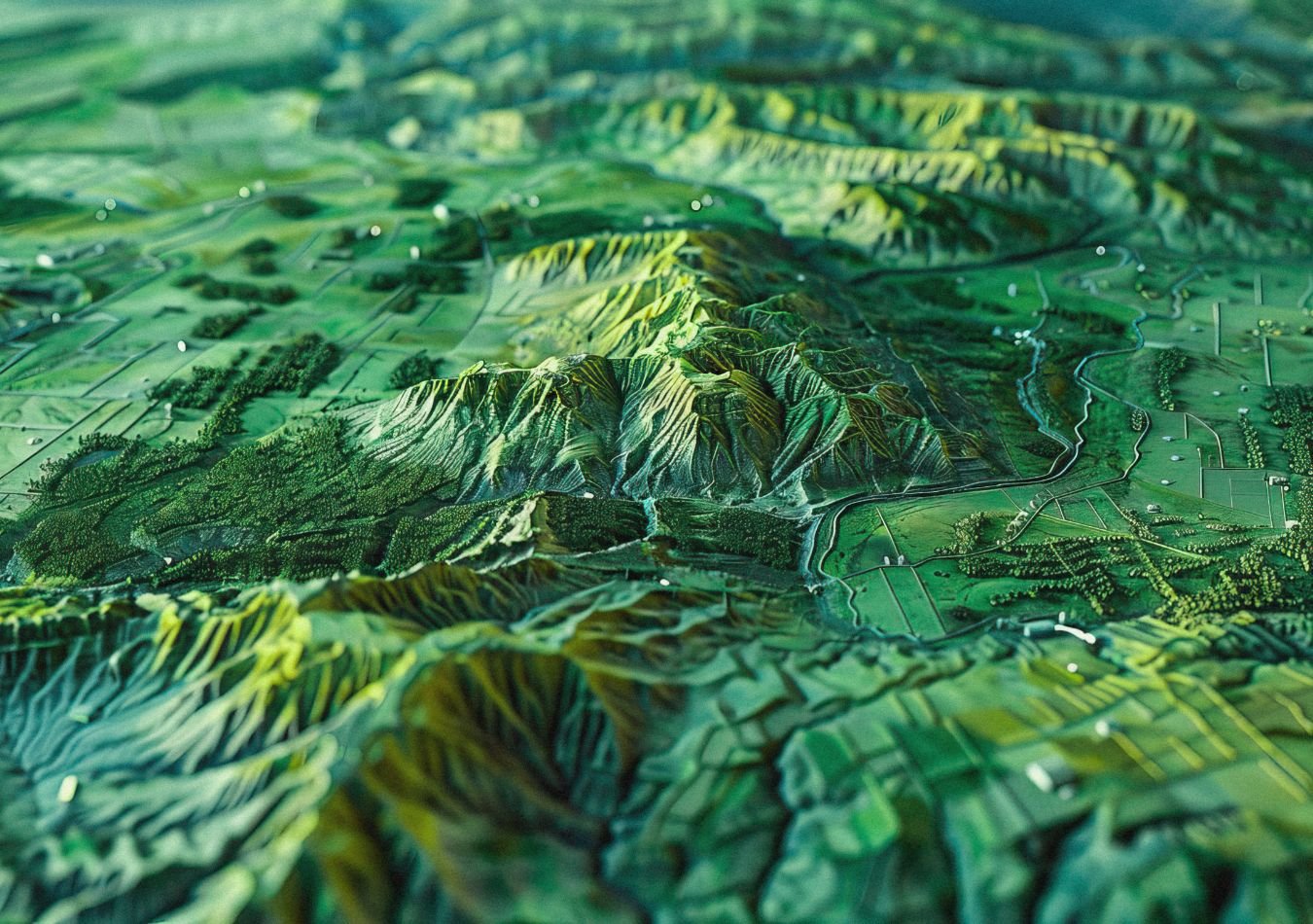
We’re counting down our picks for the top ten best geospatial data companies, ranking each provider based on their impact, innovation and overall reputation in the industry.
Carto
We kick off our list with Carto, which offers a powerful geospatial data integration platform that allows organisations to visualise, analyse, and share their geospatial data. Designed to help organizations unlock the full potential of their geospatial data, Carto's GIS and location intelligence platform provides a range of tools and features that enable users to easily work with and analyse their data. One of its key features is its powerful visualisation capabilities, allowing users to easily create dynamic maps and visualisations that display their geospatial data in a variety of formats, including heat maps, point clouds, and 3D maps. This enables organisations to quickly identify patterns and trends in their data, and make informed decisions based on the insights they uncover.
Carto's platform also provides advanced analytics capabilities, including geospatial analysis, machine learning, and predictive modelling. These tools enable organizations to gain deeper insights into their data and make more accurate predictions about future trends and events. Carto also provides a range of specialised solutions for specific industries and use cases in addition to its core cloud-native platform. For example, Carto offers solutions for real estate, transportation, and urban planning, each tailored to the unique needs and challenges of those industries.
Spatial AI
Spatial AI focuses on understanding human behaviour and movement patterns through location data powered by AI and machine learning to help organisations make better decisions based on location-based decisions. Their platform enables users to ingest, process, and analyze large volumes of data from a variety of sources, including satellite imagery, GIS data, and IoT sensors. Spatial AI's platform leverages advanced machine learning algorithms to automatically identify patterns and relationships in the data, providing insights that might not be visible to the human eye. For example, their platform can automatically identify changes in land use over time, or detect anomalies in satellite imagery that might indicate potential security threats.
One of the standout features of Spatial AI's platform is its ability to provide real-time insights into location-based data. This is particularly important for industries such as transportation and logistics, where even small disruptions can have significant impacts on operations. Spatial AI's platform can monitor data in real time, providing early warnings of potential issues and enabling operators to take action before a problem becomes critical. Another key benefit of Spatial AI's platform is its ability to integrate with other technologies and platforms. For example, the platform can be integrated with a range of GIS systems, enabling users to visualize their data in 3D and create interactive maps and dashboards. Additionally, Spatial AI's platform can be used in conjunction with other machine learning and AI technologies, enabling organizations to build more advanced predictive models and automation systems.
Amazon Web Services (AWS)
The first tech giant on our list, Amazon Web Services (AWS) provides a wide range of services that enable users to store, process, and analyse geospatial data at scale. AWS offers several services that allow users to work with geospatial data, including Amazon S3, Amazon EC2, Amazon RDS, Amazon Aurora, and Amazon DynamoDB. These services provide a robust and flexible platform for storing and managing geospatial data, as well as performing analysis and visualization tasks. One of the most important AWS services for geospatial data is Amazon S3. This service provides scalable and durable object storage that can handle large volumes of geospatial data. S3 allows users to store and retrieve data from anywhere in the world and integrates with other AWS services, such as Amazon EC2 and Amazon EMR, for processing and analysis.
Another critical AWS service for geospatial data is Amazon EC2, which provides scalable and customizable compute resources for running geospatial applications. EC2 instances can be configured with specialized software and libraries for processing and analyzing geospatial data. Additionally, AWS provides a number of pre-configured geospatial AMIs (Amazon Machine Images) that can be used as a starting point for developing geospatial applications. Amazon RDS, Amazon Aurora, and Amazon DynamoDB are relational and NoSQL databases that can be used for storing and querying geospatial data. These databases provide high scalability, availability, and durability, and are designed to handle large volumes of geospatial data. Additionally, AWS offers several geospatial extensions and plugins for these databases, such as PostGIS and GeoJSON, that enable users to perform advanced geospatial queries and analysis.
Esri
A leading provider of geographic information system (GIS) software, Esri allows organisations to manage, analyse, and visualise huge volumes of location-based data. Built on ArcGIS – a suite of software and services that provide a range of tools for data management, analysis, and visualization – Esri’s platform can be used to integrate a wide variety of data sources, including satellite imagery, LiDAR data, and IoT sensors. Esri's platform also provides a range of specialised solutions for specific industries and use cases. Its facilities solution, for instance, provides tools for managing and analyzing data related to infrastructure assets such as power lines and substations, while its solution for public safety provides tools for managing and analyzing data related to emergency response.
One of the most powerful features of Esri's platform is its ability to provide real-time monitoring and analysis of location-based data. This is particularly important for industries such as transportation and logistics, where even small disruptions can have significant impacts on operations. Esri's platform can monitor data in real time, providing early warnings of potential issues and enabling operators to take action before a problem becomes critical.
SafeGraph
A leader in geospatial data, SafeGraph is renowned for its high-precision datasets on global physical spaces. Founded in 2016 by Auren Hoffman, SafeGraph is the self-proclaimed “source of truth” regarding location data. It provides detailed information on various points of interest (POIs) around the world, building footprints and publishing aggregated foot traffic data.
The datasets on offer are utilised by a number of retail giants, logistics companies, financial institutions, and even government agencies. It informs decision makers on aspects like market analytics, site selection, and investment research.
With its robust data infrastructure and commitment to quality, SafeGraph is committed to transparency and data privacy, and continues to act as a key figure in the geospatial data industry. It emphasizes that data is aggregated and anonymised, empowering organisations to make data-driven decisions based on comprehensive and accurate location information.
Echo Analytics
Echo Analytics is a dynamic data company that transforms raw data into actionable insights. It has quickly established itself as a leading space in the location intelligence industry, following its founding in 2021. It provides a comprehensive suite of geospatial products — including premium mobility and POI data. It covers over 80 million locations globally.
The company is committed to innovation, which is evident in its strategic partnerships and acquisitions. Datasets are enriched with advanced machine learning and AI-powered analytics, giving users updated and reliable information. In 2023, just two years after launch, it acquired the Dutch startup, Roam.ai. This allows for integrating advanced SDK technology to create a 360-degree location platform.
It has also partnered with Snowflake, allowing for Echo Analytics’ geospatial datasets to be available on the Snowflake Marketplace.
Echo Analytics serves a large client base across a number of industries and companies, including retail, advertising, finance, and government services. The data supports various applications, such as market analytics, site selection, investment research, and supply chain optimisation.
Foursquare
After launching as a social media ‘check-in’ app, Foursquare is now a pioneering geospatial technology company. A leading provider of location intelligence solutions, Foursquare offers customers a comprehensive suite of products to help understand and interact with physical spaces through advanced geospatial data and analytics.
Founded in 2009, Foursquare offers a database of over 120 million POIs across more than 200 countries and territories. The dataset is maintained through a combination of first-party data, third-party sources, and machine learning models. This provides accurate and detailed location information for users to consider.
Foursquare acquired Unfolded in 2021, enhancing its analytics capabilities and integrated advanced geospatial visualization tools into the platform. This led to the launch of Foursquare Studio — a self-serve platform allowing users to analyse and visualise spatial data. Two years later, in 2023, Foursquare introduced the Foursquare Graph, which organises datasets to derive business insights, utilising the H3 grid system for efficient data analysis.
A leader in the field, Foursquare is a trusted partner for a number of industries and businesses, ranging from retail and advertising to real estate.
Safe Software
Next up we have Safe Software – a leading provider of spatial data integration solutions with a powerful data integration platform to match. Safe Software's Feature Manipulation Engine (FME) allows organisations to seamlessly connect and transform geospatial data between various formats and systems, providing advanced capabilities for everything from bulk data movement (ETL) to quality assurance to data replication. Users can apply powerful filters, calculations, and spatial operations to their data – such as clipping, buffering, and merging – enabling them to tailor their geospatial data to their specific needs and create custom workflows for their projects.
One of the challenges with geospatial data is that it can come in many different formats, such as shapefiles, KML, GeoJSON, and more. Safe Software's FME addresses this by providing a flexible and scalable solution for geospatial data integration able to read and write over 400 different formats, allowing organizations to easily convert and integrate data from various sources. This means that users can access, transform, and analyse their geospatial data in the format they need. FME is also compatible with a range of other cloud-based services and platforms. FME can connect to popular cloud providers such as AWS, Microsoft Azure, and Google’s Cloud Platform, allowing organisations to access and integrate data from these sources and collaborate on geospatial data across different departments.
Google
Our runner-up spot goes to Google, a widely recognised provider of geospatial data known for its extensive and accurate data that spans the globe, including satellite imagery, terrain, street maps, and 3D buildings. At the heart of Google's geospatial data capabilities is the Google Maps platform, which provides users with a wide range of mapping and location-based services. These include the ability to search for locations, get driving directions, view real-time traffic information, and explore 360-degree street-level imagery through Google Street View.
Another key component of Google's geospatial data is Google Earth, which provides users with access to high-resolution satellite imagery, 3D terrain, and detailed maps of the world. With Google Earth, users can explore the planet from a range of perspectives and gain valuable insights into the natural and built environments. In addition to these consumer-facing services, Google also offers a range of geospatial data solutions for businesses and organizations. These include the Google Maps Platform, which provides developers with a range of APIs and tools for building custom mapping and location-based applications. Other solutions include Google My Maps, which allows users to create and share custom maps, and Google Earth Engine, which provides researchers and scientists with powerful tools for analyzing and visualizing geospatial data at scale. By providing users with access to rich, location-based information and powerful analytical tools, Google has made it possible to gain new insights into our environment and make better-informed decisions about how we interact with it.
Microsoft Azure
At the top of our list, we have Microsoft Azure – a geospatial data pioneer that provides a comprehensive set of services for working with location intelligence data used by thousands of companies around the world. Azure has a vast portfolio of services and tools for integrating geospatial data into business operations and services. Its most notable geospatial service, however, is Azure Maps – a set of location APIs that provide developers with tools for building and integrating maps, geocoding, routing, and traffic data into their applications. Azure Maps provides a range of features that enable developers and enterprise organisations to build intelligence location-enabled and map-based experiences, creating new business opportunities using a comprehensive set of geospatial services, mapping APIs, and SDKs.
Other notable Azure geospatial services include Azure IoT, which is a set of services and tools for building and deploying IoT solutions. Azure IoT includes features for working with geospatial data, such as support for GPS and other location sensors, and integrations with Azure Maps for real-time visualisation and analysis of geospatial data. Azure Synapse Analytics is another important Azure geospatial offering, which is a cloud-based analytics service that provides users with a unified platform for big data and data warehousing. Synapse Analytics includes several features for working with geospatial data, such as support for spatial data types and functions, and integrations with Azure Maps for spatial visualisation and analysis.
Comments ( 0 )