As the Turkey-Syria earthquake continues to cause devastation in towns and cities across the middle east, modern technologies have turned into critical tools to aid in the search for survivors.
The 7.8 magnitude earthquake, which has so far resulted in the deaths of over 19,800 people, saw buildings crumble within seconds and left tens of thousands trapped under rubble.
So far 7,800 people have been rescued across 10 provinces since Monday, and the international community has already pledged to send further assistance to those affected.
Big tech firms have also offered to send aid to survivors. Google, Apple and Microsoft have each sent donations to aid those affected by the earthquake.
Meanwhile, Amazon has sent relief packages containing items like blankets, tents, heaters food, baby food, medicine and other emergency items.
“To assist impacted communities, Amazon has activated its disaster relief capabilities and is responding to help meet the immediate needs of the Red Crescent and other relief organizations,” Amazon said in a blog post on its website.
The Turkish government did not accept every offer for help it got, however. Elon Musk said on Twitter that SpaceX was willing to provide Turkey with access to its Starlink network, which provides satellite telecoms assistance.
But senior Turkish officials declined Musk’s proposal, noting that the country already had enough satellite capacity as it is, according to a report from Bloomberg.
As Emergency responders, military forces, aid workers and volunteers rummage through the rubble for survivors, technology is playing a critical role in facilitating search and rescue efforts.
From drones to satellite mapping, here are just some of the technological developments being employed in Turkey ad Syria to aid in the search for survivors.

Drones take to the sky
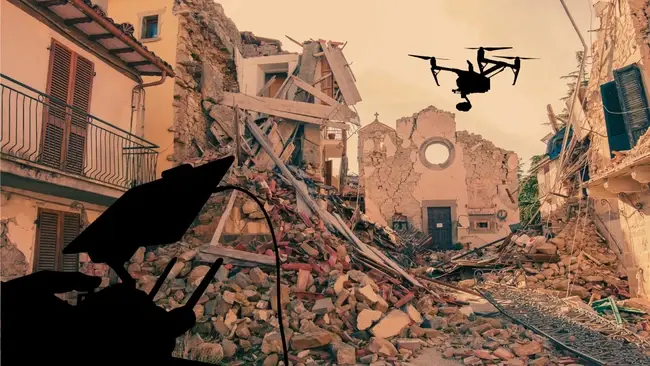
Many of the images being shared of the Turkey-Syria earthquake online have come from footage taken by drones aiding in the search.
These drones have not only provided a birds-eye view of the devastation but have also been equipped with sensors to assess damage to buildings.
Drone footage from Kahramanmaras, Turkey. It has been reported that almost half of the city was destroyed
— Vision4theBlind (@Michael3147) February 8, 2023
Turkish TV is reporting that the earthquakes were caused by "artificial means" (HAARP) pic.twitter.com/HPtury55ep
This can include detecting high levels of methane, which can indicate whether gas supplies in a building have been broken and are at risk of exploding.
The Spanish government, as well as multiple drone manufacturers, have sent drones to Turkey as part of its aid package.
Satellite Mapping
Within hours of the first earthquake striking Turkey and Syria on Monday, the United Nations activated its emergency mapping satellite service.
The tool is essentially a live map of the areas of the world hit by the quake, which serves to provide a live view of the damage caused by the tremors to show which areas are affected and how far-reaching the damage is.
The United Nations does not operate its own satellites for this map but instead relies on governments from UN members and private firms to provide imagery from their satellites.
As well as the UN, the EU has also activated its Copernicus satellite mapping system to aid in rescue efforts.
NASA FINDER Tool
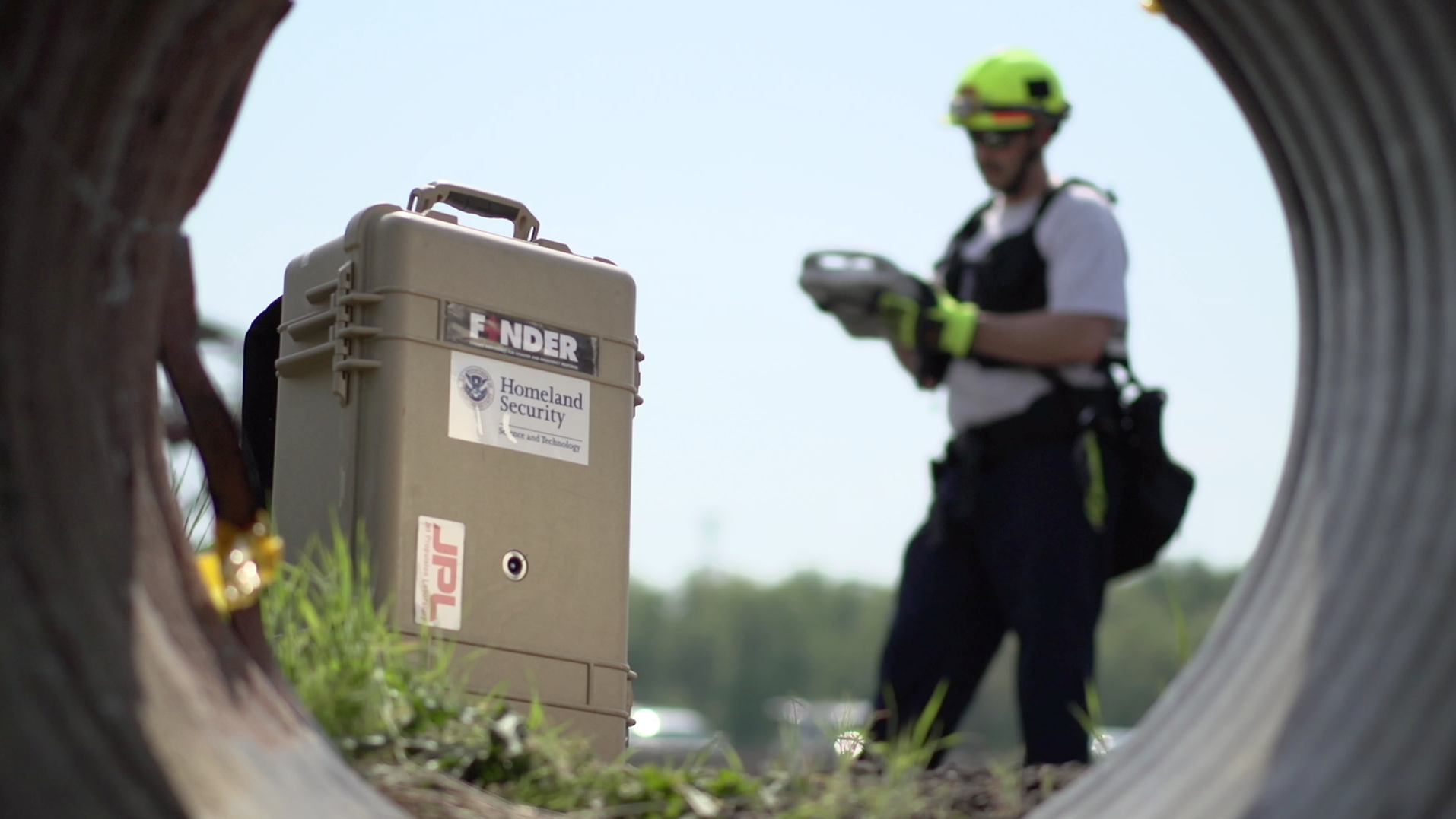
NASA’s FINDER technology, which can detect heartbeats under 30ft of rubble, has also been used to help find survivors after the devasting earthquake.
Stored in a device no more than a small suitcase, the technology works by sending a low-power microwave signal through rubble and looks for changes in the reflections of those signals coming back.

The tool can detect extremely small movements like heartbeats and breathing, allowing rescuers to find injured survivors trapped under rubble.
In 2015, the space agency's FINDER tool successfully found four men buried beneath around 10ft of brick, mud, wood, and other debris in the Nepalese village of Chautara, and saved multiple lives in the 7.1 magnitude quake in Mexico City two years later.


Comments ( 0 )